How Interactive Maps Enhance Attendee Satisfaction at Large Events
2025-05-12Large events can be exciting, but they also bring challenges for both organizers and attendees. With more exhibits, stages, or venues spread over a wide area, it becomes harder to help people get where they want to go.
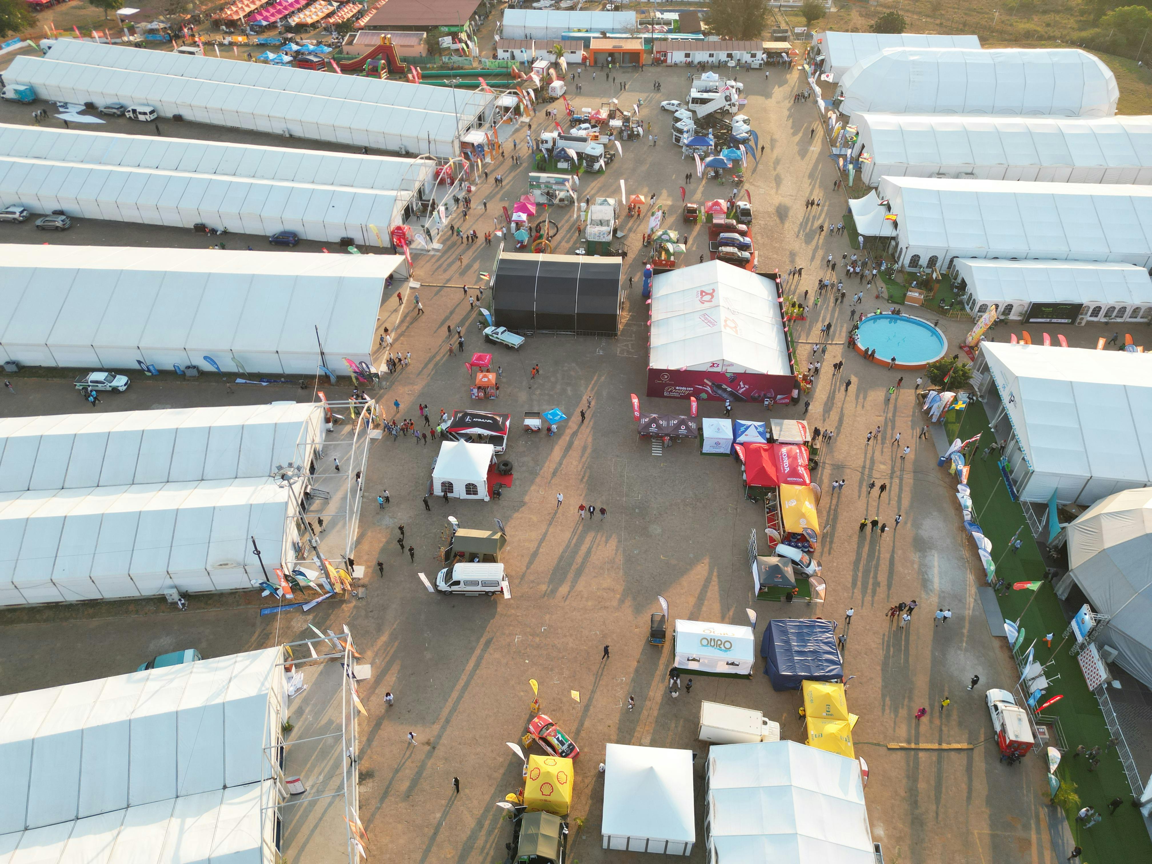
From music festivals and trade shows to campus open days and city-wide cultural events, large area events often require attendees to navigate unfamiliar spaces quickly. While printed guides and static signs are often available, they can be hard to follow or become outdated as plans change.
Interactive maps are becoming a tool that event teams use to manage these environments more effectively. This article explores how they work in the context of real-world challenges and what features make them useful.
What are interactive maps for events?
Interactive maps for events are digital tools that help users explore a space in real time. Unlike static paper maps, these digital versions allow users to zoom in, search for specific locations, and receive updated information throughout the event.
The main components of interactive maps include:
- A visual representation of the event space
- Search functionality to find specific locations
- Navigation tools to guide users from one point to another
- Information about points of interest like exhibits, stages, or facilities
Interactive maps work on smartphones, tablets, and computers, making them accessible to most event attendees. They can be embedded in event apps, websites, or accessed through QR codes placed around the venue.
Common challenges at large events
At large events, attendees often face difficulties that impact their overall experience. Navigation problems typically fall into a few categories:
- Disorientation: Unfamiliar venues with multiple halls, stages, or areas can confuse visitors
- Time management: Finding specific locations can take longer than expected
- Information overload: Too many options and locations to remember
- Changing circumstances: Last-minute venue changes or schedule updates
These issues are particularly common at:
- Trade shows and conventions with multiple exhibitors
- Music festivals with several stages
- Sports tournaments across multiple fields or courts
- Academic conferences with sessions in different buildings
How interactive maps solve navigation problems
Interactive maps address the common challenges of large events through several key features:
- Real-time updates: Unlike printed maps that become outdated when changes occur, digital maps can be updated instantly
- Personalization: Users can search for specific vendors, sessions, or amenities
- Efficient routing: The map can show the fastest path between two points
- Current location: Many maps show where the user is currently standing
This approach to venue wayfinding transforms how attendees experience large events. Instead of relying on memory or asking staff for directions, they can use their devices to navigate independently.
Key features that boost attendee engagement
1. Real-time routing
Real-time routing calculates the most efficient path between locations. This feature:
- Shows step-by-step directions from current location to destination
- Updates if the user takes a wrong turn
- Considers factors like crowd density or closed areas
- Estimates walking time between locations
For example, an attendee at a trade show can type “Coffee” into the search bar, and the map will show nearby coffee vendors and the quickest route to reach them.
2. Indoor positioning
Indoor positioning helps users know exactly where they are inside a building. This works similar to GPS but functions indoors where satellite signals often don’t reach.
The technology uses:
- Bluetooth beacons placed throughout the venue
- Wi-Fi signals from existing networks
- Magnetic field mapping of the building
This allows for accurate indoor navigation, even in large convention centers or multi-level venues where it’s easy to get lost.
3. Search and filtering
Interactive maps include powerful search tools that help users find exactly what they’re looking for:
- Text search: Type vendor names, product categories, or amenities
- Category filters: Show only food vendors, restrooms, or session rooms
- Favorites: Save important locations for quick access later
These features support vendor discovery by making it easier for attendees to find specific exhibitors or types of products they’re interested in.
Benefits of real-time updates
One of the biggest advantages of interactive maps is the ability to make changes instantly. When event circumstances change, organizers can:
- Close off areas that become inaccessible
- Add new attractions or vendors
- Update booth locations if exhibitors move
- Mark temporary facilities like first aid stations
This flexibility helps manage unexpected situations. For example, if a popular session needs to move to a larger room, the map can be updated immediately, and attendees will see the new location when they check.
This table compares how static and interactive maps handle common event situations:
| Situation | Static Paper Maps | Interactive Digital Maps |
|---|---|---|
| Venue change | Requires reprinting | Updated instantly |
| New vendor added | Not shown on map | Added in real time |
| Area closure | Verbal announcements needed | Marked on map with alternate routes |
| Schedule change | Separate notification required | Can be integrated with map information |
Environmental impact and sustainability
Using digital maps instead of printed ones reduces paper waste significantly. For a large event with 10,000 attendees:
- A typical printed map uses 1-2 sheets of paper per person
- This equals 10,000-20,000 sheets of paper
- If changes occur, reprints create additional waste
Digital alternatives eliminate this waste entirely. This aligns with sustainability goals and environmental initiatives that many events are adopting.
Beyond paper savings, digital maps also reduce:
- Ink usage and associated chemical waste
- Transportation emissions from delivering printed materials
- Disposal issues after the event ends
Data insights for event improvement
1. Attendee movement patterns
Interactive maps can collect anonymous data about how people move through an event. This creates heat maps showing:
- High-traffic areas that attract the most visitors
- Underutilized spaces that might need better promotion
- Common paths people take between locations
- Average time spent in different areas
This information helps organizers improve future events by optimizing layout and flow.
2. Search trends
The search function in interactive maps reveals what attendees are looking for most often:
- Popular vendors or exhibits
- Frequently sought amenities like restrooms or food
- Specific products or categories of interest
This data helps organizers understand attendee priorities and interests.
3. User feedback
Some interactive maps include features for collecting feedback at specific locations. For example:
- Quick rating systems at exits
- Location-based survey prompts
- Comment features tied to specific areas
This creates opportunities for satisfaction surveys that gather input when experiences are fresh in attendees’ minds.
Customization options for event branding
Interactive maps can be customized to match event branding through:
- Color schemes that match event themes
- Custom icons for different types of locations
- Branded pins for sponsored areas
- Consistent typography with other event materials
This visual consistency helps reinforce the event identity and makes the map feel like an integrated part of the experience rather than a separate tool.
Pre-event planning benefits
Making interactive maps available before an event starts helps attendees plan their experience:
- Familiarity building: Users can explore the venue layout ahead of time
- Itinerary creation: Attendees can mark sessions or exhibits they want to visit
- Time management: Understanding distances between locations helps with scheduling
- Group coordination: Meeting points can be identified in advance
This preparation helps attendees make the most of their time at the event and reduces day-of stress.
Enhancing overall attendee satisfaction
Interactive maps contribute to attendee satisfaction by addressing fundamental needs:
- Reduced frustration: Less time spent feeling lost or confused
- Increased autonomy: Less reliance on staff for basic directions
- More engagement: More time spent on event activities rather than navigation
- Better memories: Positive experiences without the frustration of getting lost
When attendees can navigate confidently, they’re more likely to have positive emotional memories of the event. They associate locations with experiences rather than confusion.
Interactive maps transform navigation from a potential source of frustration into a seamless part of the event experience. By giving attendees the tools to explore confidently, these maps help create more engaging and satisfying events.
Start creating your personalized interactive map today to transform your next event experience: https://pin-it.co.uk/maps/new.
Frequently Asked Questions About Interactive Maps For Large Events
How long does it take to implement an interactive map for an event?
Most interactive maps take 2-4 weeks to implement, depending on venue size and complexity. The process involves mapping the physical space, adding points of interest, and testing the navigation features.
Do interactive maps work without internet connection?
Many interactive maps offer offline functionality that downloads essential map data to devices. Basic navigation and location information remain available even when internet connectivity is limited.
What types of events benefit most from interactive maps?
Events that cover large areas with multiple points of interest benefit most from interactive maps. These include trade shows, music festivals, campus events, sporting tournaments, and conferences with multiple session rooms.
How do interactive maps accommodate accessibility needs?
Interactive maps can display accessible routes, highlight elevator locations, and mark facilities for people with mobility needs. Many also include screen reader compatibility and high-contrast viewing options for visual accessibility.
What metrics can event organizers track through interactive maps?
Organizers can track metrics like popular search terms, most-visited locations, common navigation paths, and dwell times in specific areas. This data helps improve future event layouts and resource allocation.
Start creating your personalized interactive map today to transform your next event experience: https://staging.pin-it.co.uk/